Birding in the Sacramento Region
The diverse habitats of the Sacramento region offer a wide variety of birding opportunities. From wetlands, rivers, riparian forest, grasslands, oak woodlands, and chaparral, these areas provide shelter and food for more than 350 species of birds, whether they are permanent residents, seasonal visitors, or migrants just passing through. On this page you will find links to information on over 100 regional birding locations.
To use the map below, click on any point. You’ll find the name and a brief description with a link to additional information. Alternatively, you can click on the square with an arrow in the upper left hand corner of the map to open a complete list of all the locations on this map. Additional locations can be found on each regional page.
Fees and directions may have changed. If you have recommended changes for a location, please email them to the Web Committee.
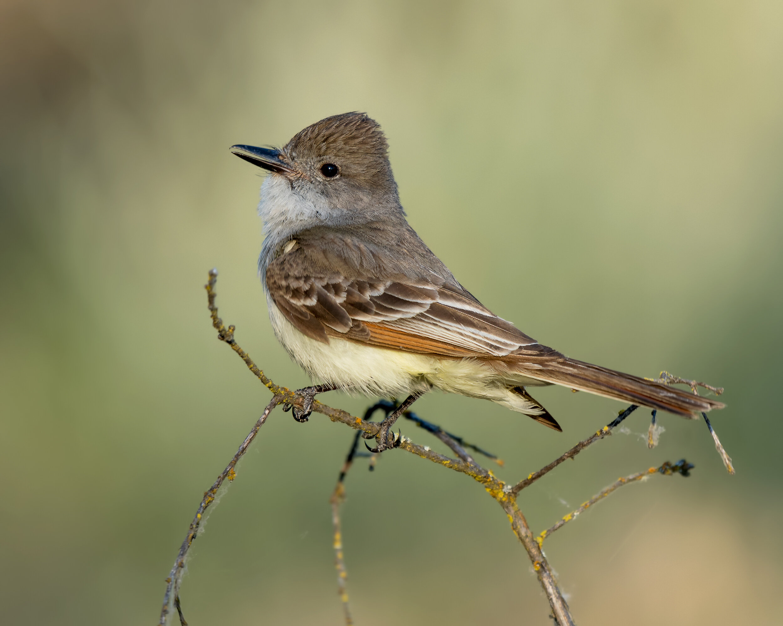
Ash-throated Flycatcher,
Image by Daniel Lee Brown
American River Parkway
Information is provided on the following American River Parkway locations:
Bushy Lake and Cal Expo Floodplain
Glenn Hall Park, Paradise Beach
California State University, Sacramento
Howe and Watt Avenue Access
Gristmill Recreation Area
William B. Pond Recreation Area
River Bend Park
Effie Yeaw Nature Center at Ancil Hoffman Park
Rossmoor Bar
Sacramento Bar and Bannister Park
Lower Sunrise Area
Sailor Bar
Upper Sunrise and the Nimbus Hatchery
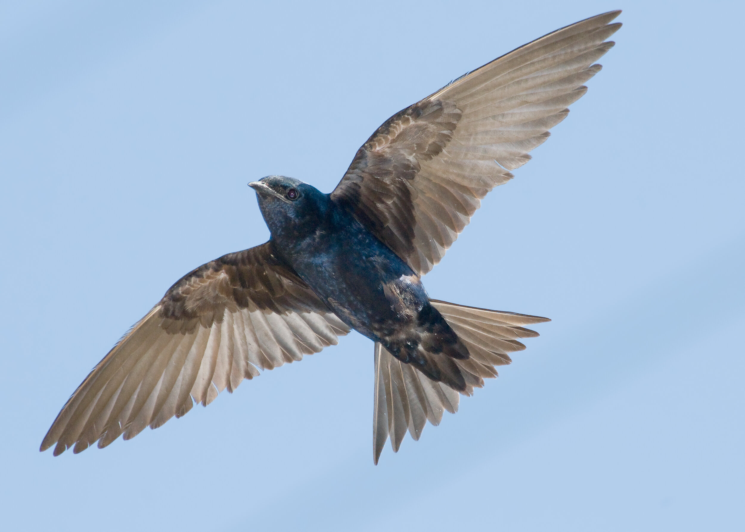
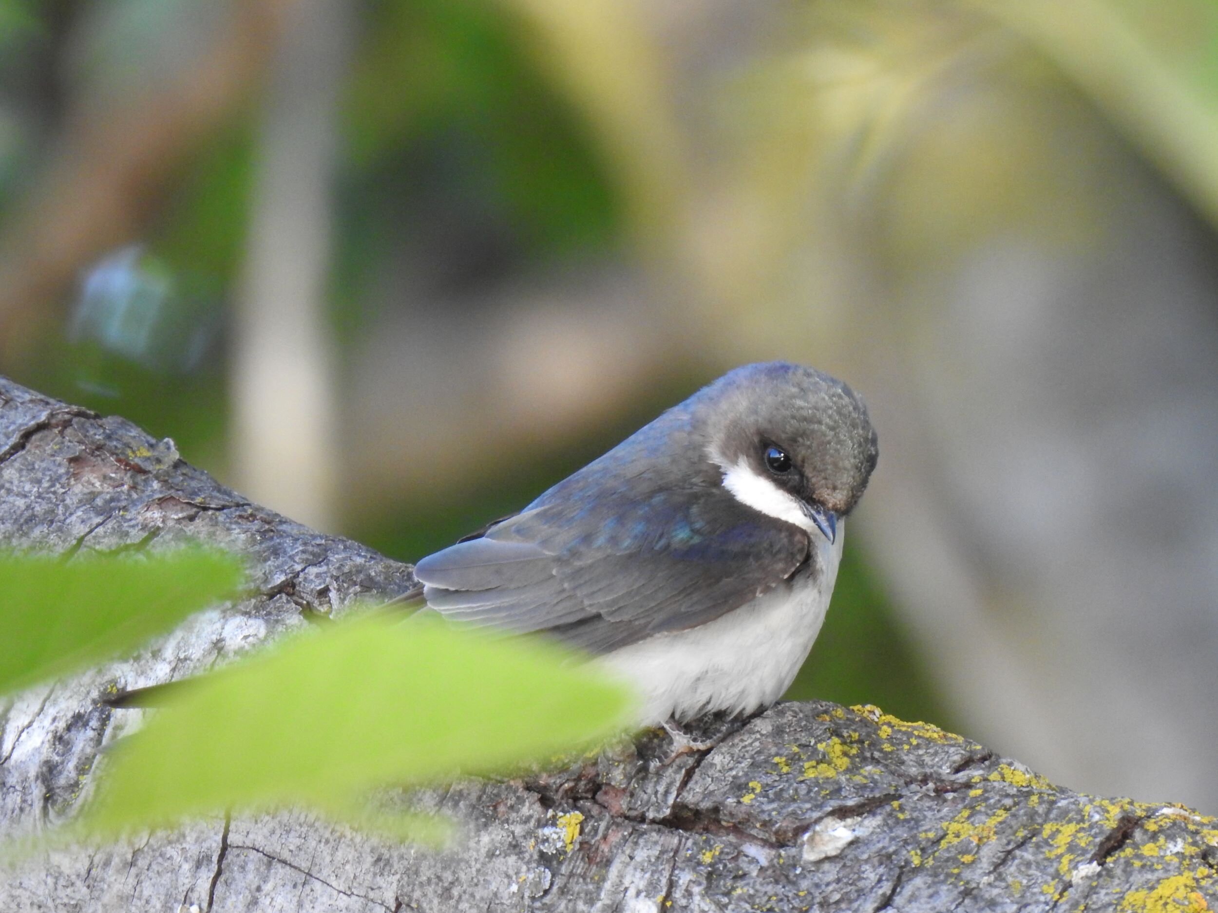
Purple Martin,
Image by Daniel Lee Brown
City of Sacramento
Information is provided on the following City of Sacramento locations:
Purple Martins, Site 1 and Site 2
East Lawn Cemetery
William Land Park
Reichmuth Park
Greenhaven Lake
Garcia Bend Park and Marriott Park
Chorley Park
Delta Shores Ponds
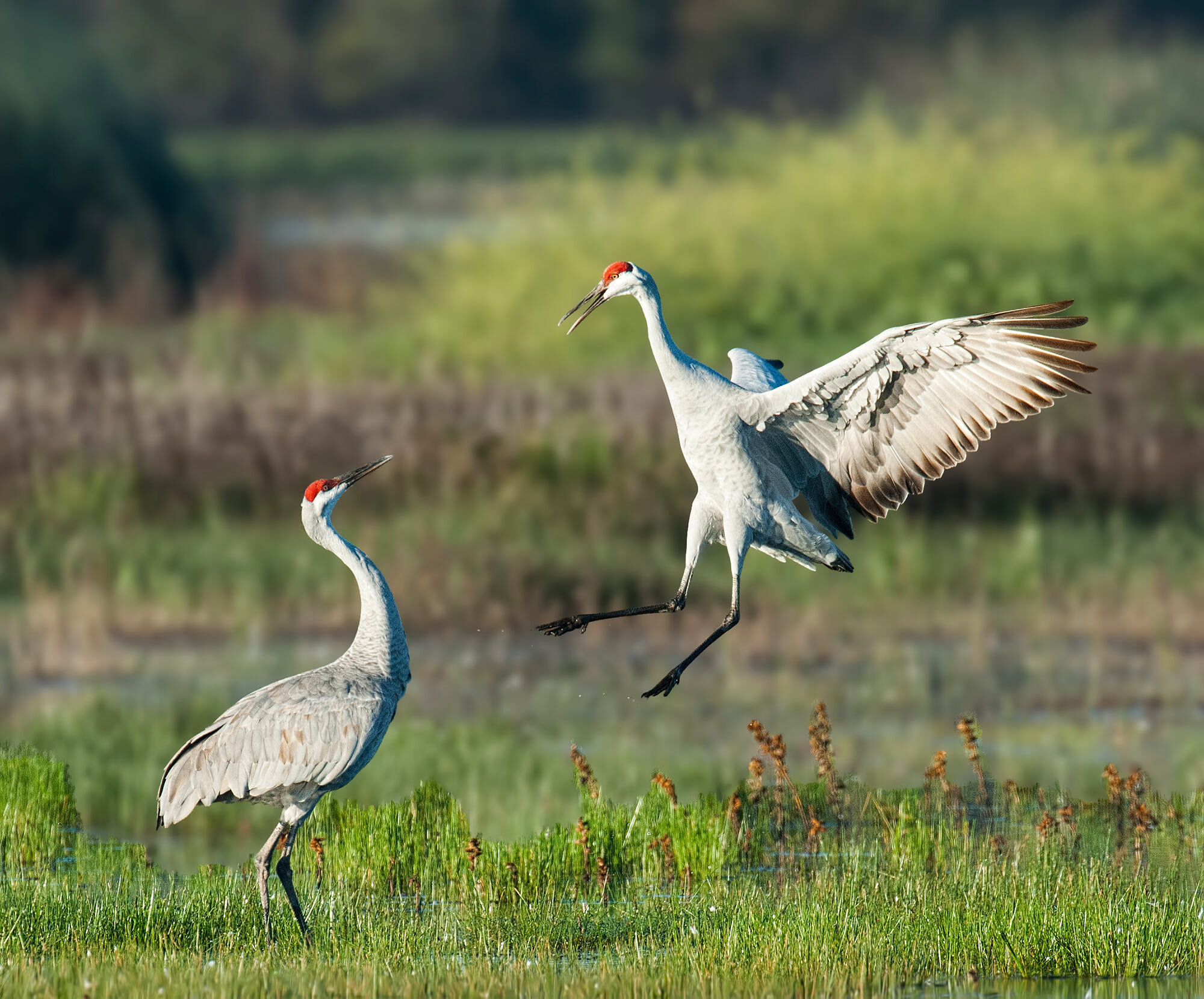
Sandhill Crane,
Image by Ray Rozema
Sacramento County
Information is provided on the following Sacramento County locations:
Gibson Ranch Regional Park
North Natomas
Tanzanite Community Park
Hansen Ranch Park Preserve
The Walter S. Ueda Parkway (AKA Wolf Ranch
Wildlife Sanctuary)
Stone Lakes National Wildlife Refuge
Sacramento Regional County Sanitation District Bufferlands
Laguna Creek Parkway Trail
Cosumnes River Preserve
Rancho Seco Rec. Area & Howard Ranch Trail
Sherman Island and the Sacramento County Delta
Mather Regional Park
White Rock and Payen Road
Scott Road
Latrobe Road (Deer Creek Hills)
Michigan Bar Road
Meiss Road
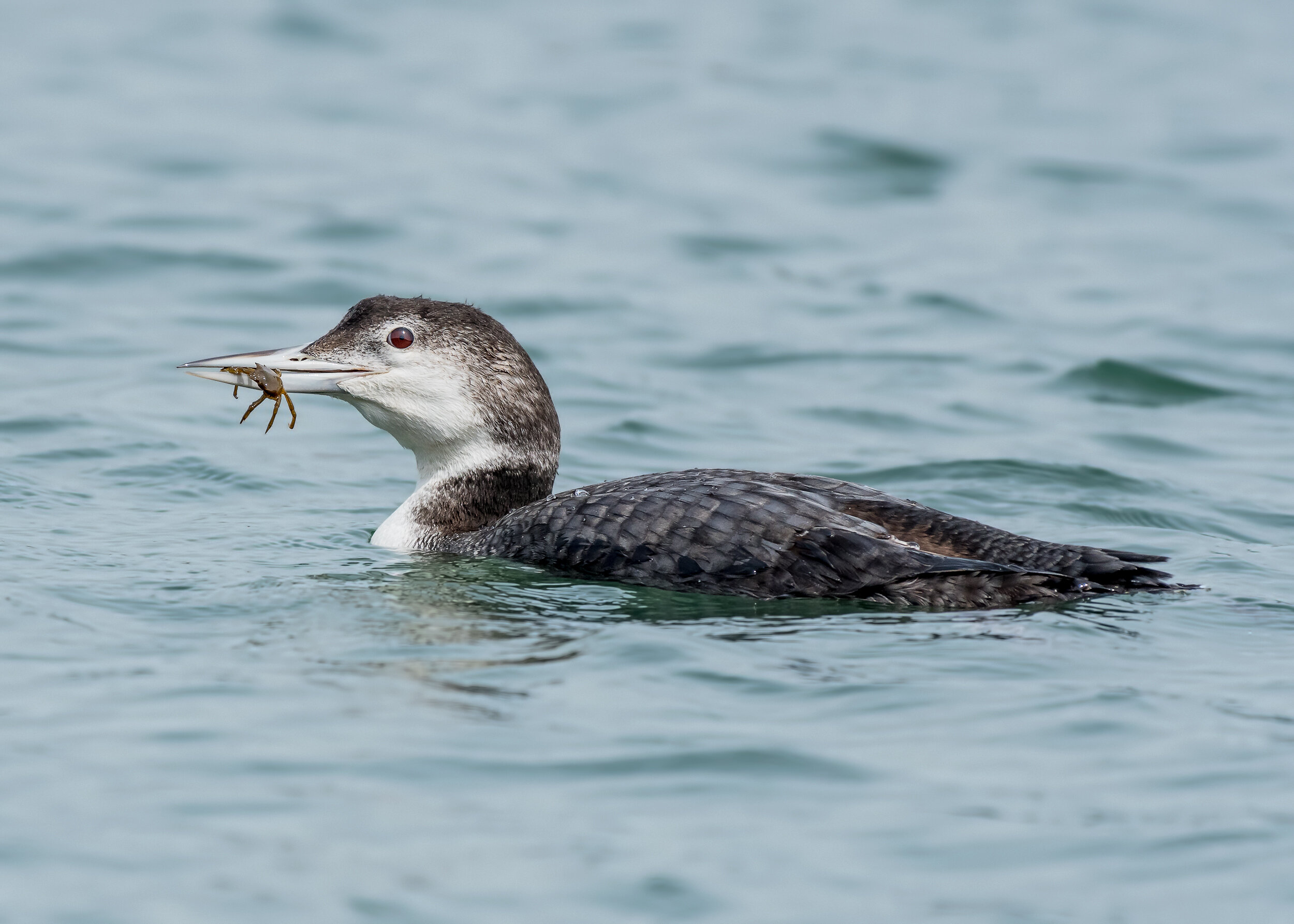
Common Loon,
Image Daniel Lee Brown
Folsom Lake Area
Information is provided on the following Folsom Lake Area locations:
Lake Natoma including:
Nimbus Flat
Lake Overlook Access
Willow Creek Access
Black Miners Bar
Folsom Rodeo Grounds
Folsom Point to Sweetwater Creek including:
Folsom Point
Mormon Island Wetland
Brown’s Ravine
Sweetwater Creek Trail to Folsom Lake
Sweetwater Creek
Beals Point
Beeks Bight
Pioneer Express Trail from Rattlesnake Bar
Folsom Lake Peninsula
Falcon Crest

Sunrise at Yolo Bypass,
Image by Daniel Lee Brown
Yolo County
Information is provided on the following Yolo County locations:
Bridgeway Island Pond
Yolo Bypass Wildlife Area
Wood Duck Ponds and Babel Slough
Davis City Limits including:
The University of California Davis Arboretum
The Putah Creek Riparian Preserve
Slide Hill Park
North Davis Pond
North Davis Farms
Willowbank Ditch
Davis Wastewater Treatment Plant
City of Davis Wetlands
Yolo Egret and Heron Rookery
Woodland Water Pollution Control Facility
Dunnigan Hills
Rayhouse Road
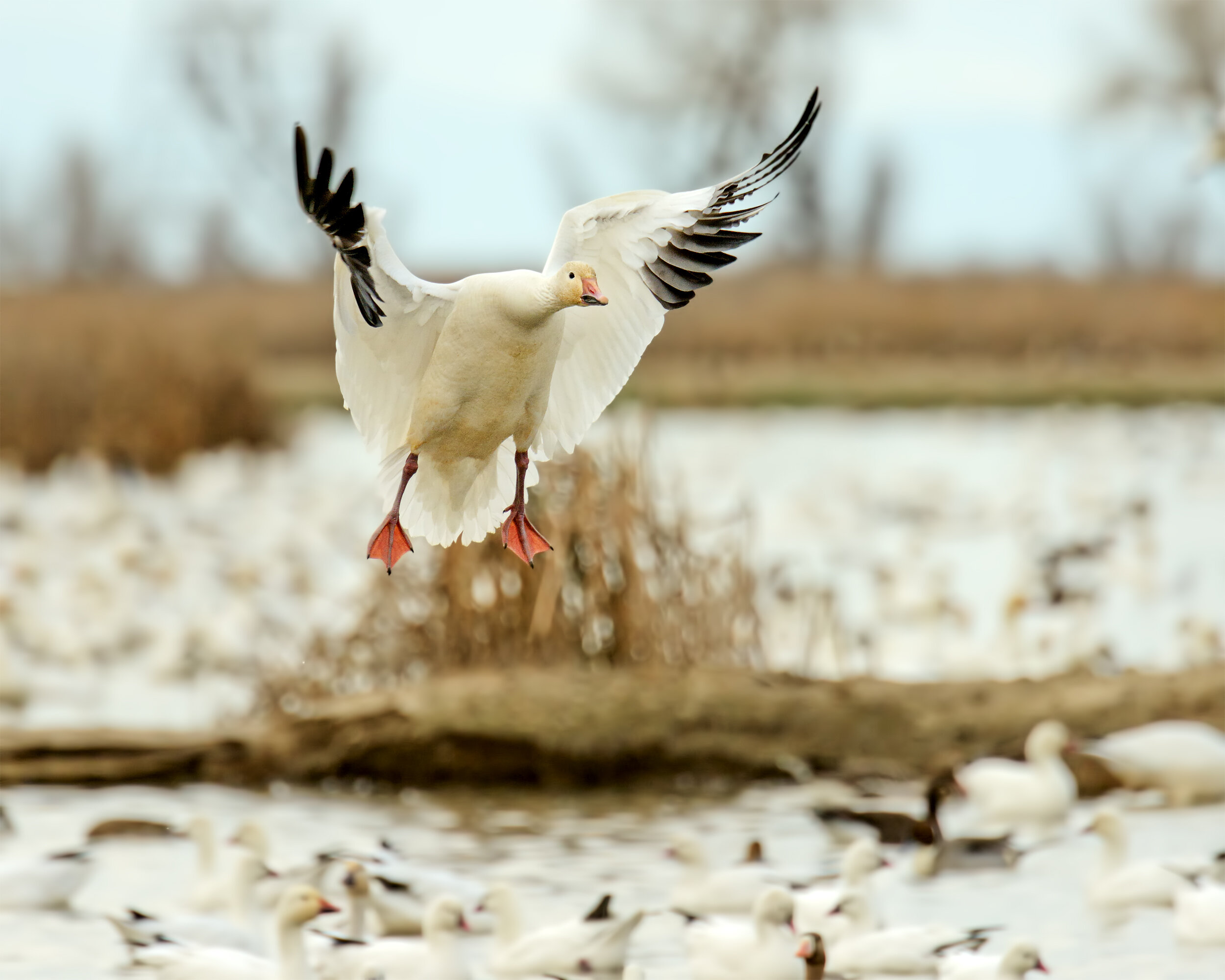
Snow Goose,
Image by Daniel Lee Brown
North of Sacramento
Information is provided on the following North of Sacramento locations:
Placer and Sutter Counties
Brewer Road Area to the West of Lincoln
Lincoln Wastewater Treatment Plant
Lincoln Hills to Spenceville Wildlife Area
Ferrari Ranch Ponds
Bobelaine Audubon Sanctuary
Colusa County
Sand Creek Road
Bear Valley
Colusa National Wildlife Refuge
Butte County
Gray Lodge Wildlife Area
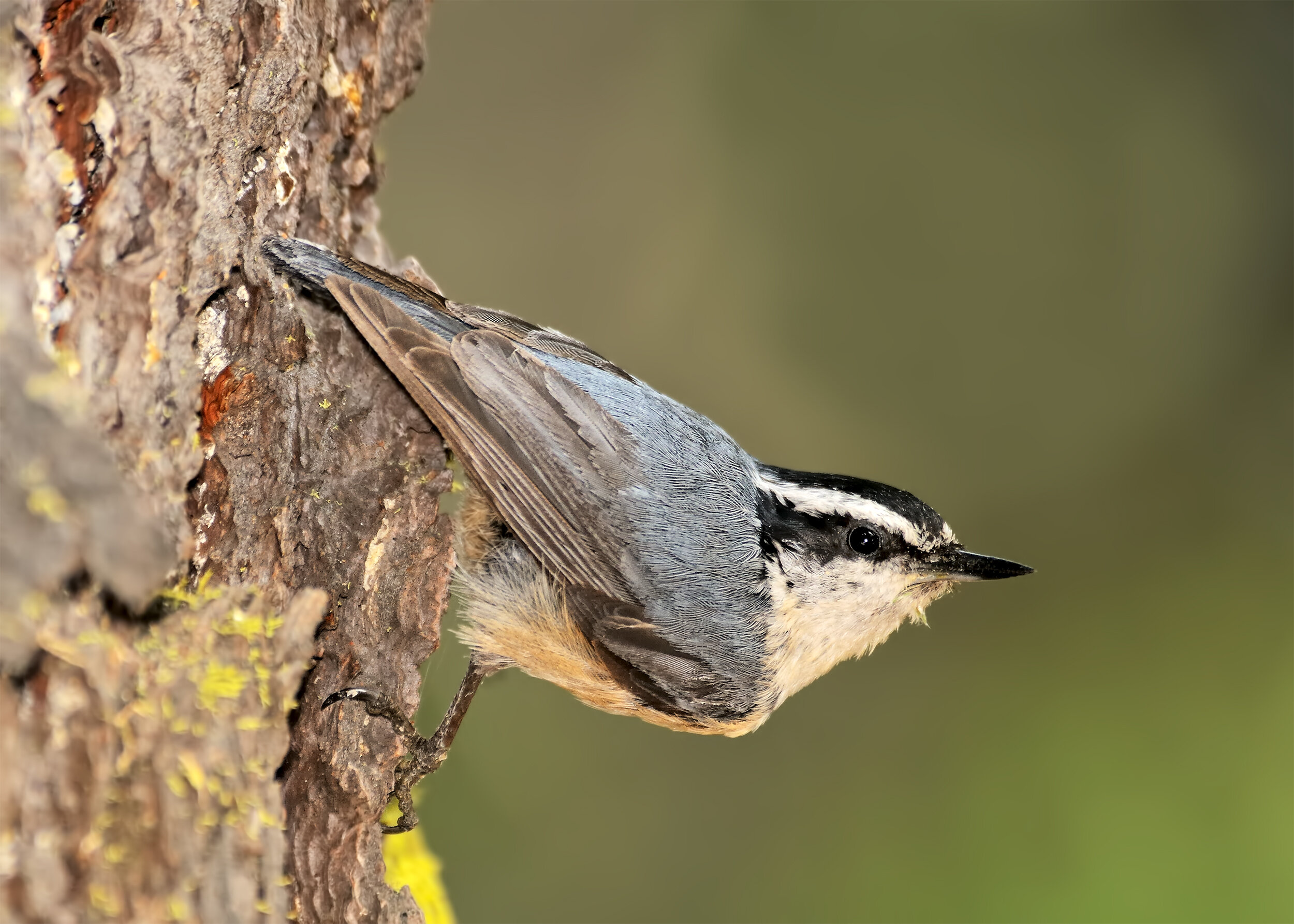
Red-breasted Nuthatch,
Image by Daniel Lee Brown
San Joaquin and Solano Counties
Information is provided on the following locations:
San Joaquin County
Woodbridge Ecological Reserve
Staten Island
Woodbridge Wilderness Area
Lodi Lake
Solano County
Lake Solano Park
UC Davis – Stebbins Cold Canyon Reserve
Robinson Road to Birds Landing
Lagoon Valley Regional Park
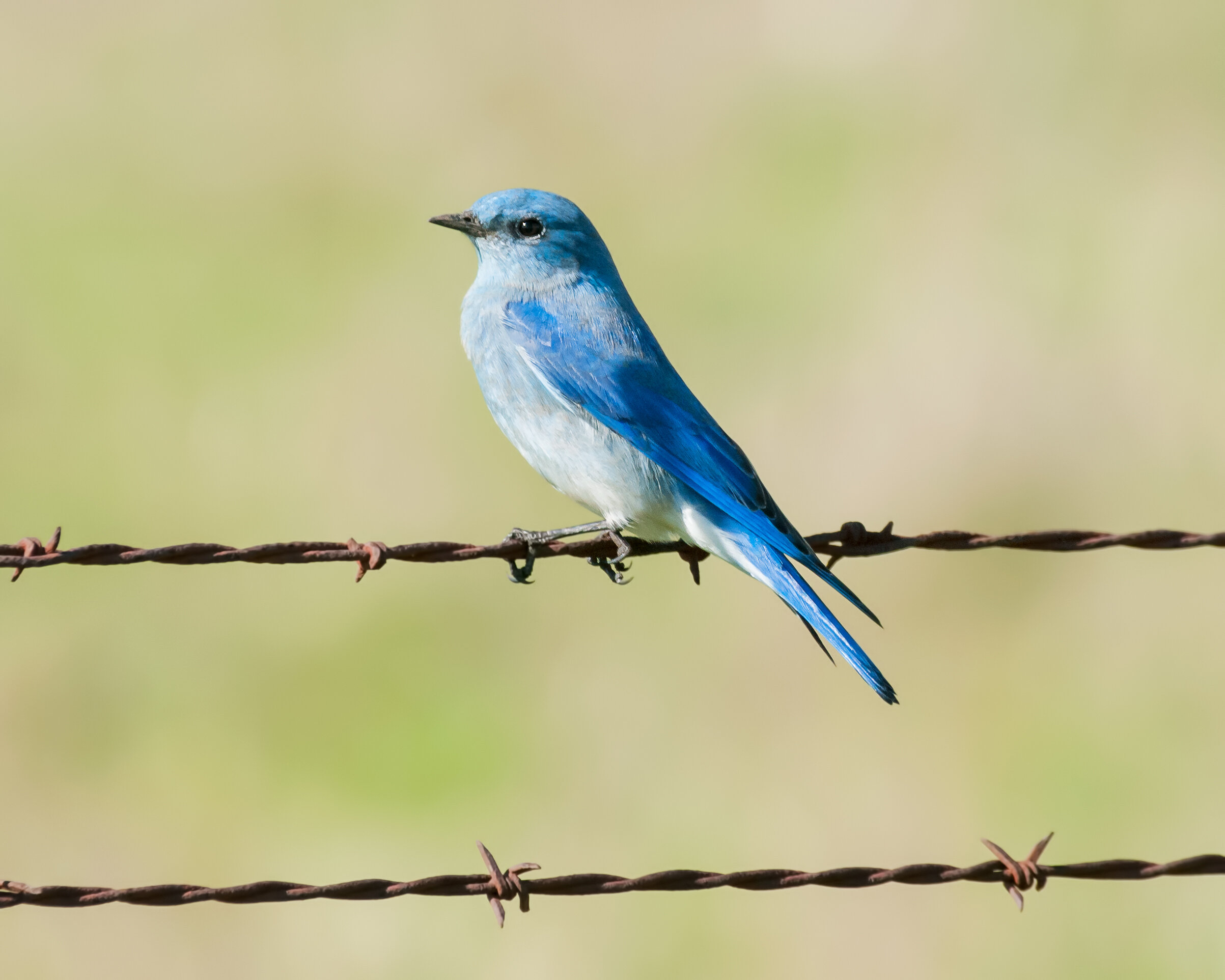
Mountain Bluebird,
Image by Daniel Lee Brown
Foothills and Sierra Nevada
Information is provided on the following locations:
El Dorado Hills
New York Creek
Bucks Creek Trail (aka Silva Valley Parkway)
The Coloma Area
Cronan Ranch Regional Trails Park
Greenwood Creek River Access
Dave Moore Nature Area
Marshall Gold Discovery State Historic Park
Auburn State Recreation Area including:
Quarry Road Trail
Olmstead Loop Trail
Stagecoach Trail
Lake Clementine Trail
Driver’s Flat
Mosquito Ridge Road including:
Little Oak Flats
Grouse Falls
Placer Big Trees
Riverton-Crystal Basin Area
Sierra Discovery Trail
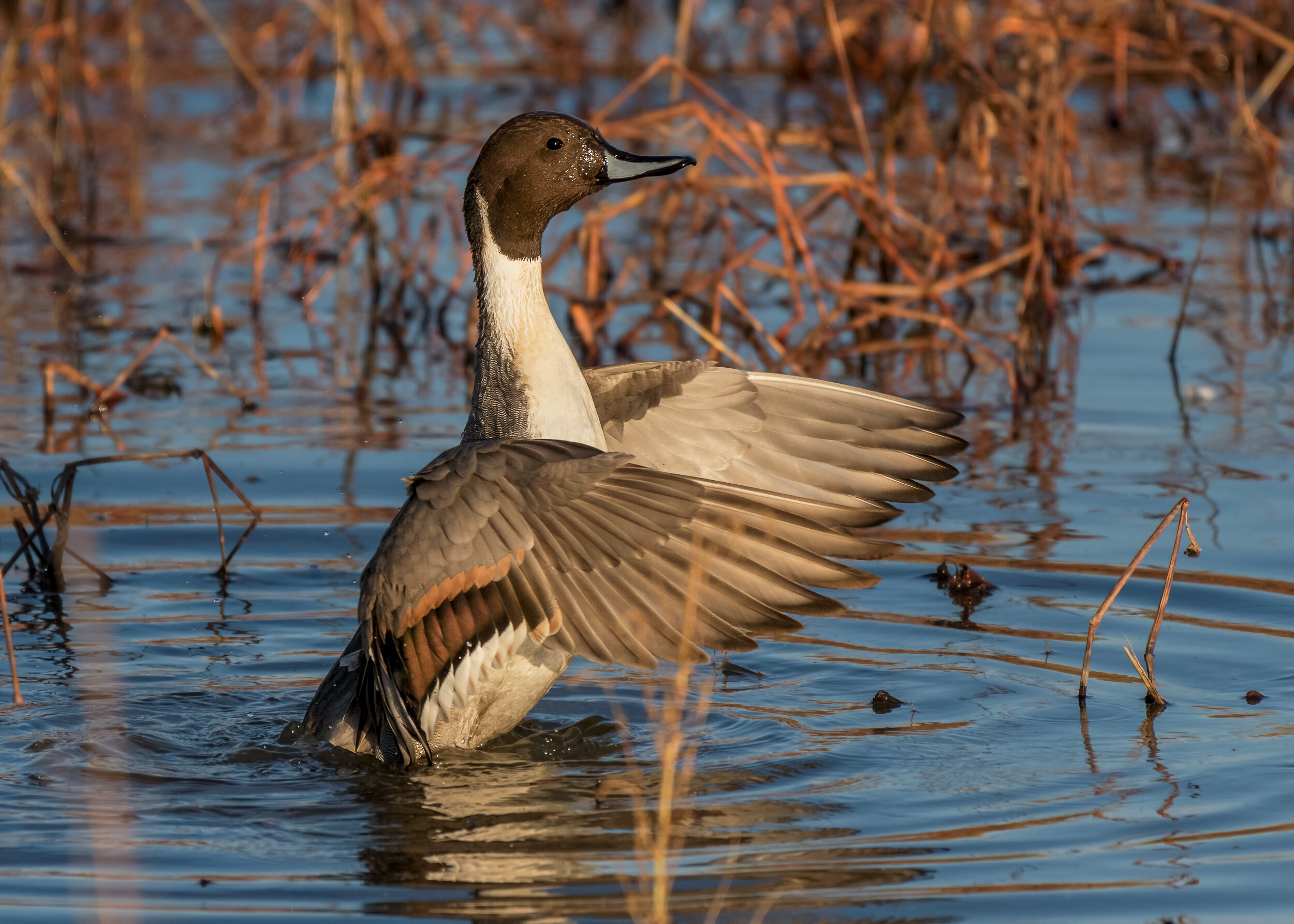
Northern Pintail,
Image by Daniel Lee Brown
Accessible Birding Locations
Information is provided on the following locations.
UC Davis Arboretum
Gray Lodge Wildlife Area
Stone Lakes National Wildlife Refuge
Cosumnes River Preserve