
North of Sacramento
To use the map above, click on any point. You’ll find the name and a brief description with a link to additional information. Alternatively, you can click on the square with an arrow in the upper left hand corner of the map to open a complete list of all the locations on this map. The map is easier to use if you enlarge it by clicking on the partial square in the top right portion of the map.
Fees and directions may have changed. If you have recommended changes for a location, please email them to the Web Committee.
Placer County
Featured


Sutter County
Featured

Colusa County
Featured
Butte County
Featured
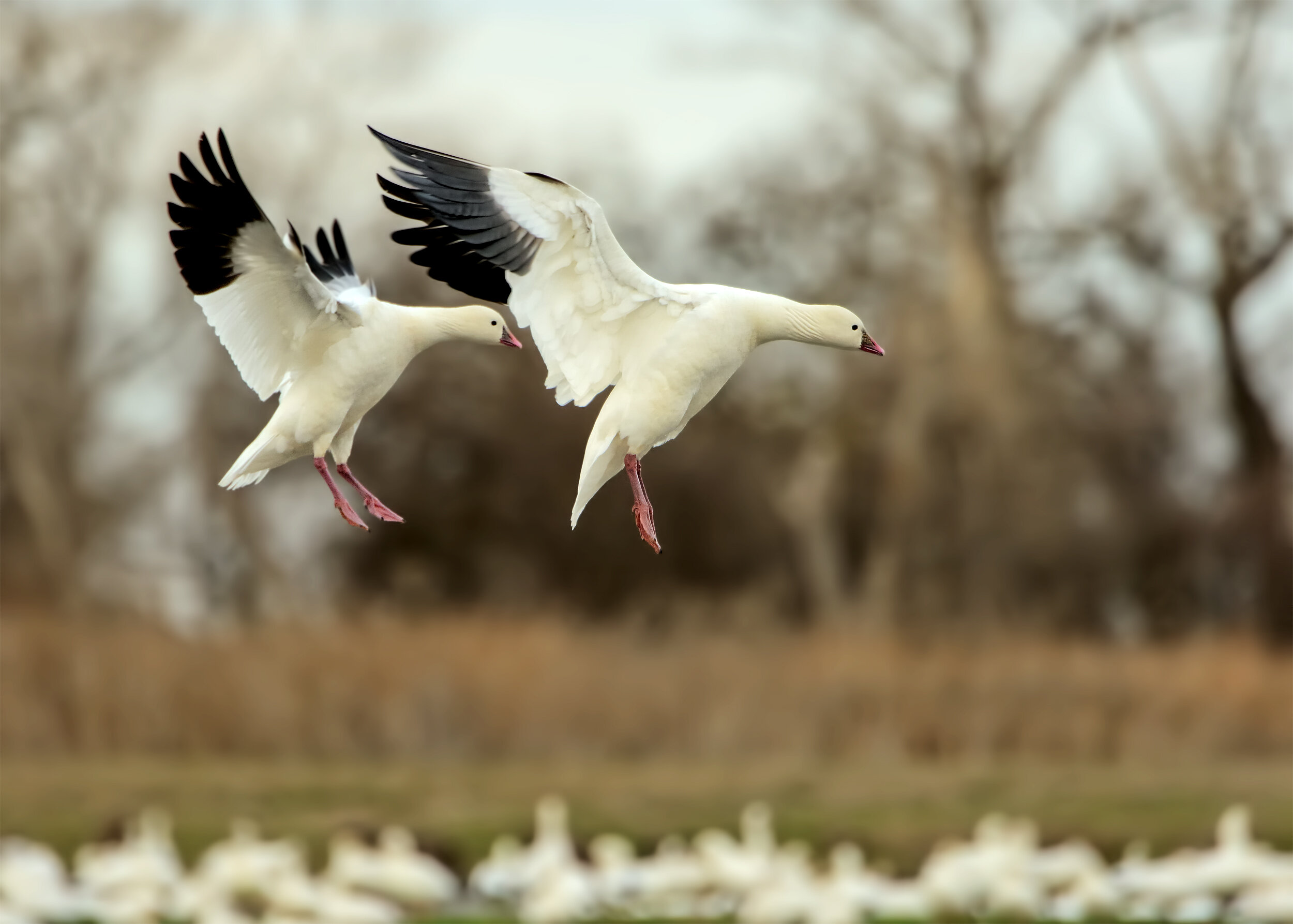
Banner Photo Credit: Ross’s Goose by Daniel Lee Brown