
Sacramento County Birding
To use the map above, click on any point. You’ll find the name and a brief description with a link to additional information. Alternatively, you can click on the square with an arrow in the upper left hand corner of the map to open a complete list of all the locations on this map. The map is easier to use if you enlarge it by clicking on the partial square in the top right portion of the map.
Fees and directions may have changed. If you have recommended changes for a location, please email them to the Web Committee.
Where to Go Birding in Sacramento County
North Sacramento County


South Sacramento County


Eastern Grasslands and Blue Oak Woodlands
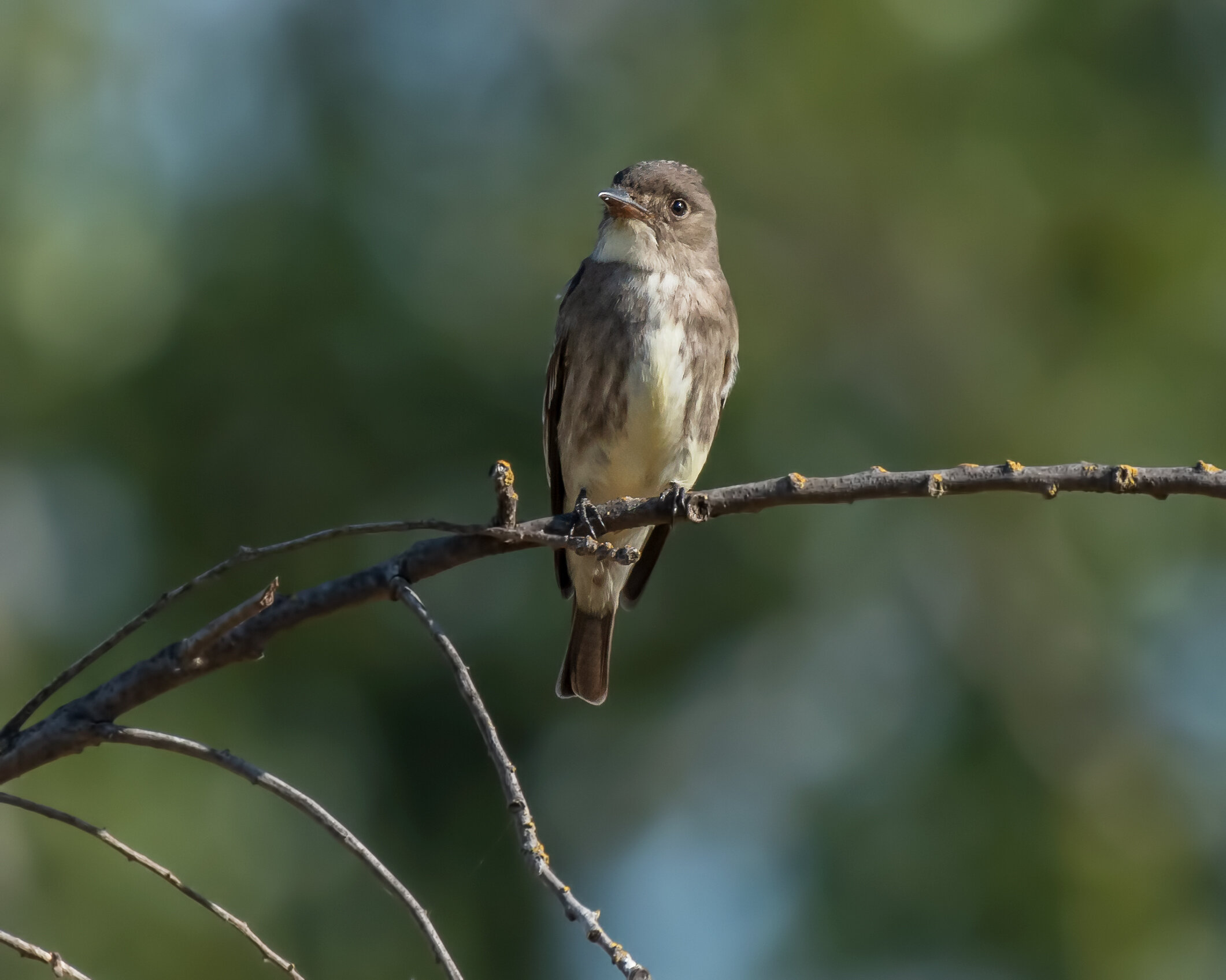
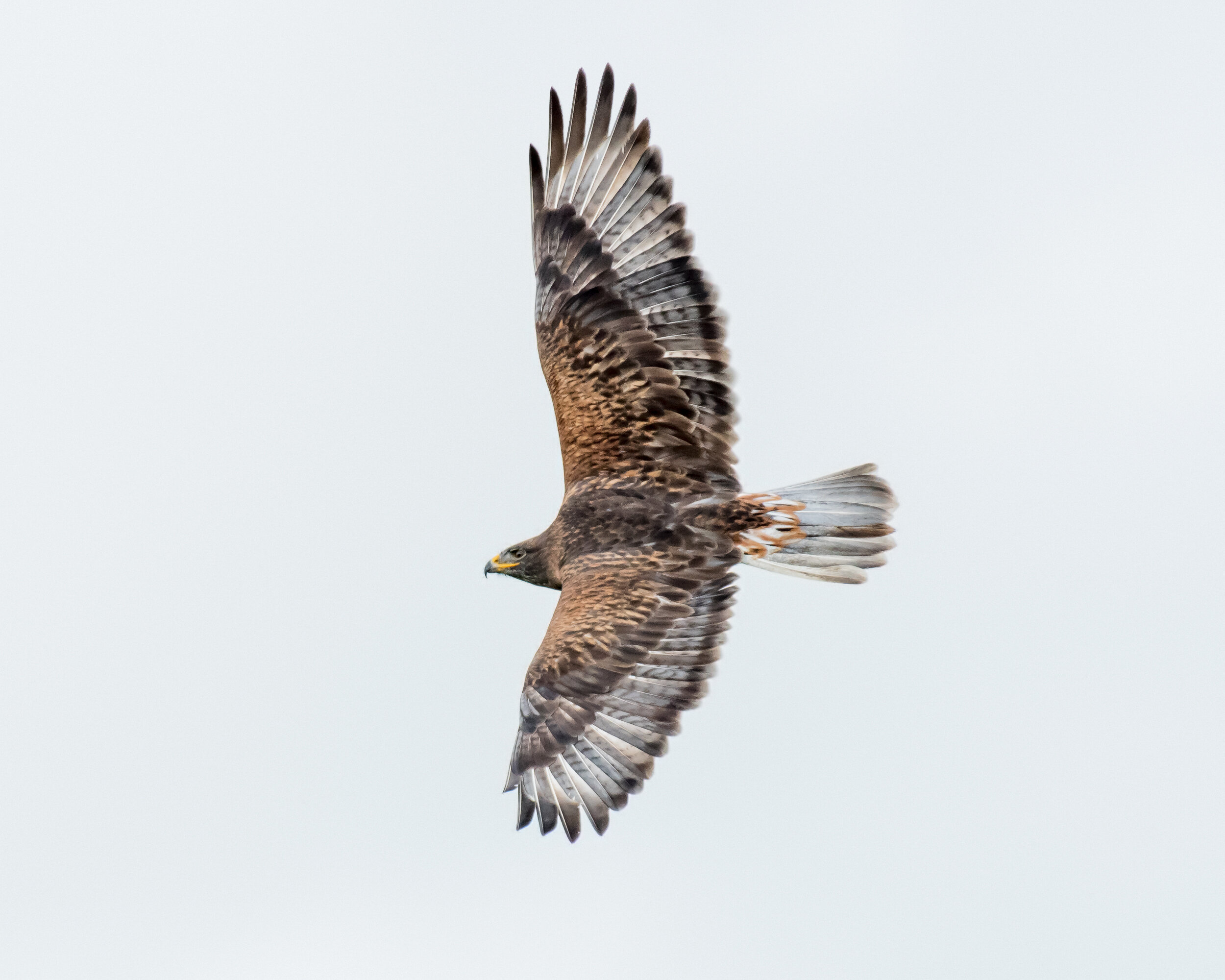
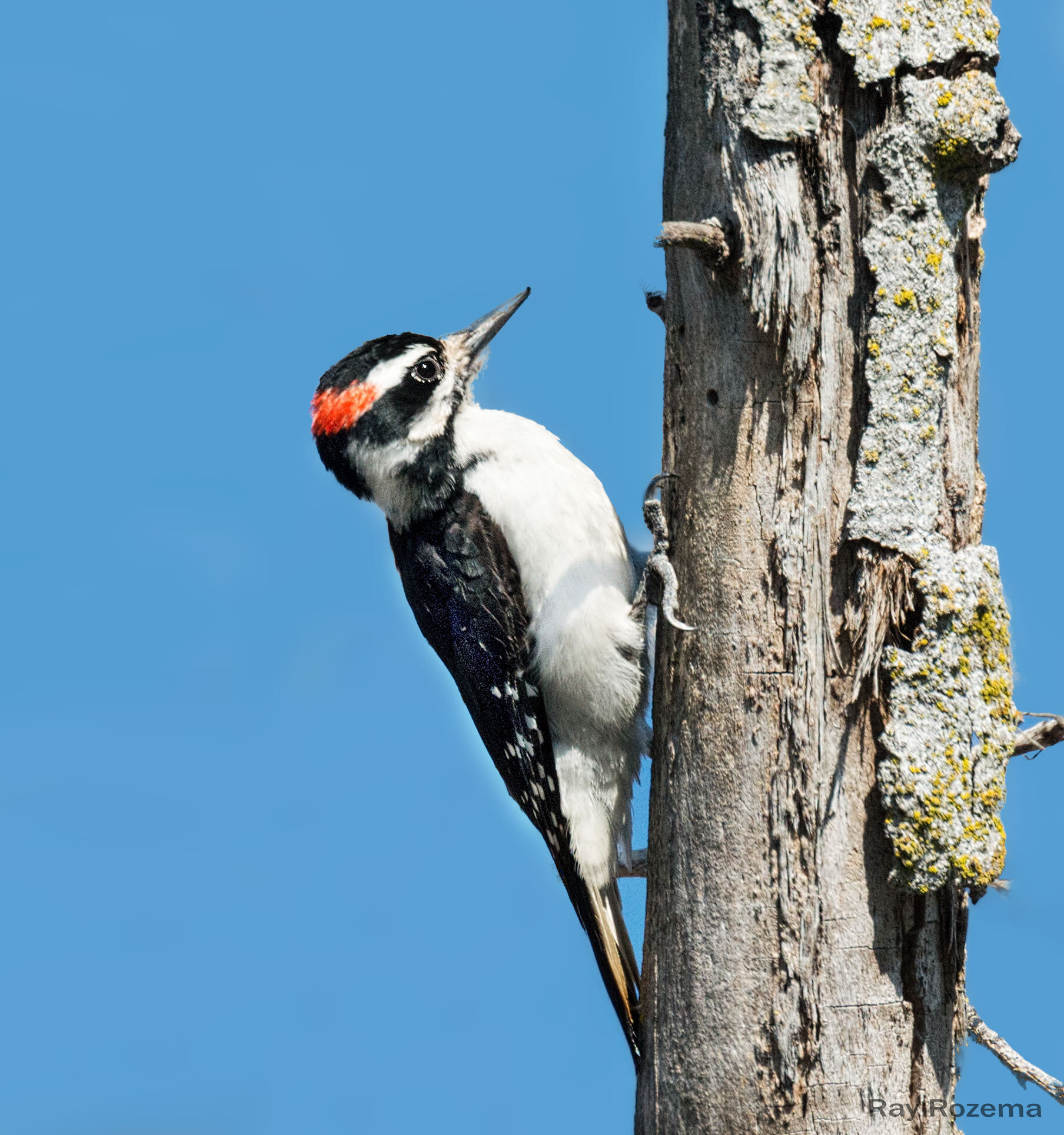
The following five locations include details on great birding areas from fall through spring. They can be combined into a full day of birding, or taken in sections as time allows. The main attraction for most birders is the chance to see winter raptors and Lewis’s Woodpeckers in a relatively natural setting. It must be mentioned that the areas along Scott and White Rock Roads are under extreme development pressure, and the descriptions that follow are of the areas as they exist today. The Sacramento Valley Conservancy spearheaded a multi-partner effort to purchase 4,000 acres through which Latrobe Road travels—Deer Creek Hills. Determined efforts to preserve open space in the southeastern county are vital if we are to continue enjoying these wonderful birding areas.
Note: Scott Road and White Rock Road are experiencing increasingly heavy traffic, so use caution and pull completely off the road when parking.


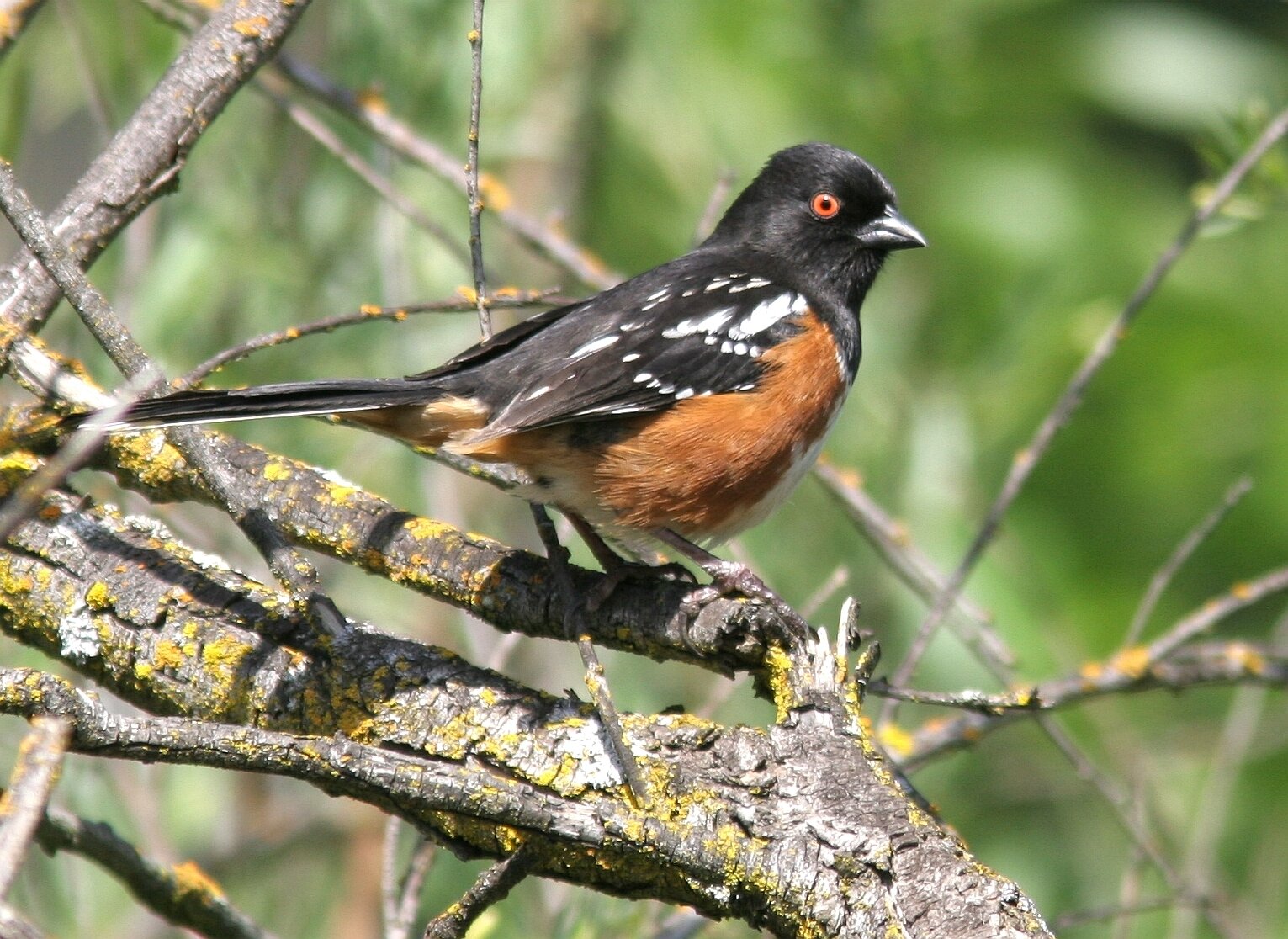
Banner Photo Credit: Spotted Towhee © Chris Conard