
Folsom Lake Area
To use the map above, click on any point. You’ll find the name and a brief description with a link to additional information. Alternatively, you can click on the square with an arrow in the upper left hand corner of the map to open a complete list of all the locations on this map. The map is easier to use if you enlarge it by clicking on the partial square in the top right portion of the map.
Fees and directions may have changed. If you have recommended changes for a location, please email them to the Web Committee.
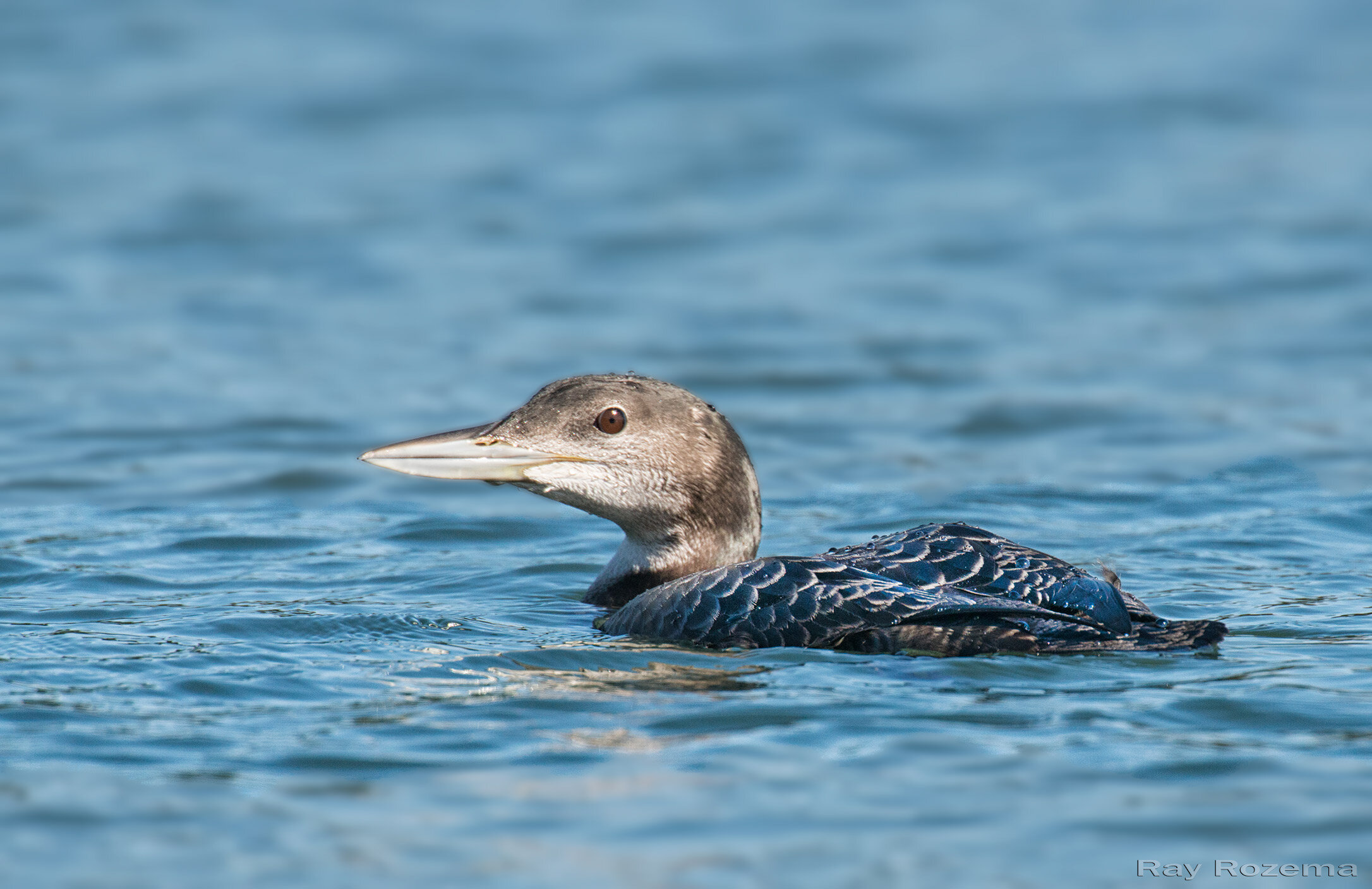
Folsom Lake and other large reservoirs are magnets for water birds and can function almost like inland seas. As many as 100,000 gulls may be found roosting on the lake in winter. Most of them are California Gulls, along with many American Herring and Ring-billed Gulls. With persistence, you can find Short-billed, Iceland, and Glaucous-winged Gulls. With luck you might find a Glaucous Gull or something truly rare. Common Loons are expected in winter, sometimes a dozen or more, while Pacific Loons are seen occasionally. Rarities have included all three species of scoter (fall, winter), Sabine’s Gull (fall), and Common Tern (fall). There are often huge rafts of Western Grebes, which usually include many Clark’s Grebes. Eared Grebes, and, more surprising for an inland location, Horned Grebes can be found in good numbers as well.
In addition to the lake habitat, there are large sections of oak woodland and chaparral ringing the lake, with many miles of trails to provide wonderful birding access. The lake and its surroundings are managed as Folsom Lake State Recreation Area (FLSRA) by California State Parks.
Parking fees for the 16 different parking lots range from $10 to $12 depending on the location. California State Park passes are also accepted at Folsom Lake SRA locations. For the latest on fees and other information, call the district office at 916-988-0205, or visit the FLSRA website.
Cars have been broken into at remote lots. Natural hazards include ticks, poison oak, and rattlesnakes. There are occasional reports of mountain lions.
Where to Go Birding in the Folsom Lake Area

Folsom Lake - Northwest Area


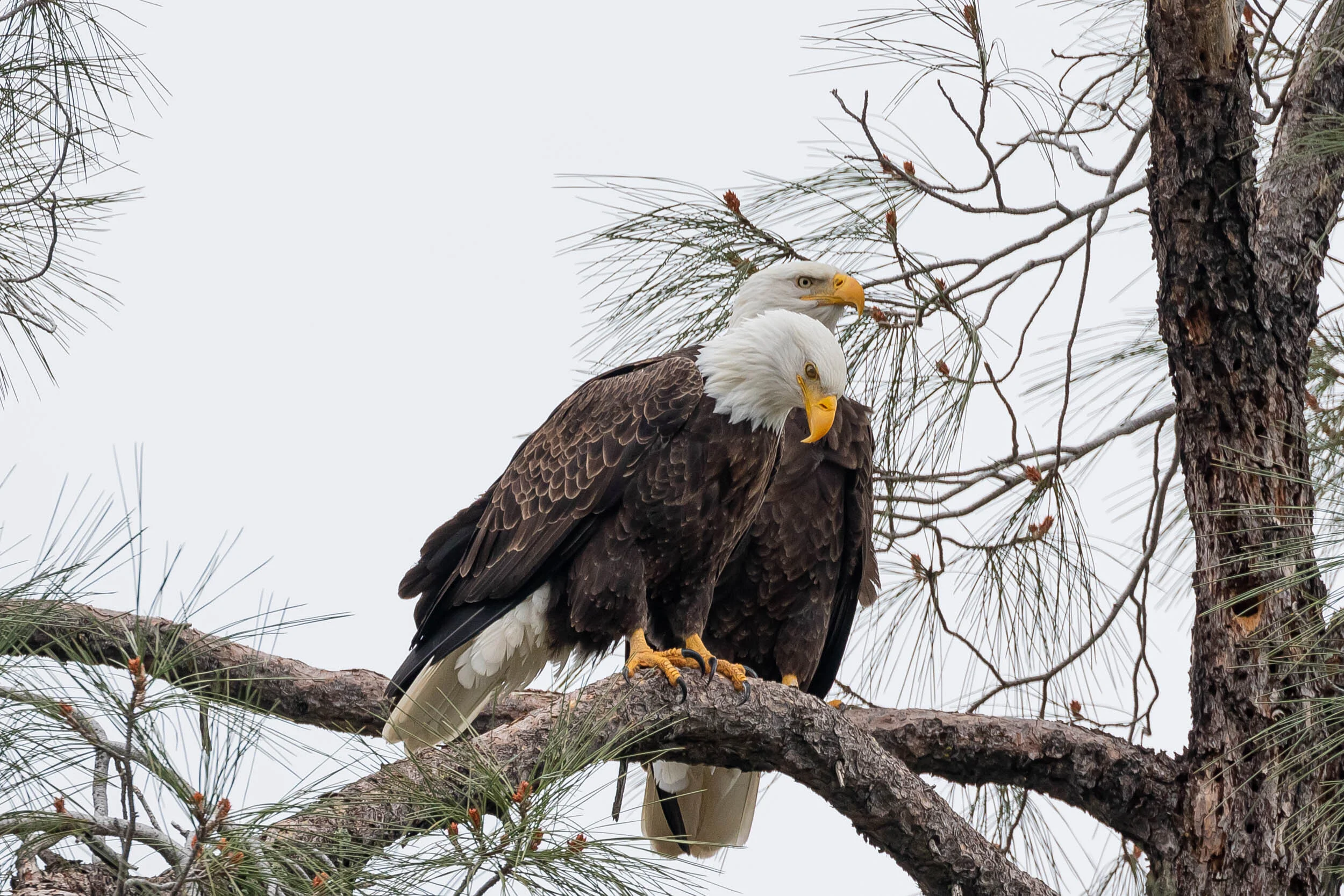
Banner Photo Credit: Bald Eagle © Larry Hickey